JEFF'S EXCELLENT GALENA ADVENTURE, JULY 8, 2006
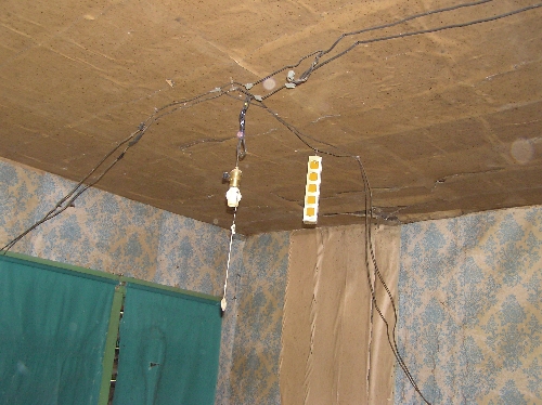
Basically from 9am to 5pm today I was helping with the school fundraiser for the galena school preservation. About 95 people came and toured Galena. The day before, I helped John and Geraldine put up photos of buildings that used to be in Galena. We put them on stakes right in front of the place where they were, so people could see what Galena was like when it was a boom town. There was pop and food at the school too, and people here and there to help explain things. I mostly helped people park and gave Sharon a break from the Sheehan house. Then I helped clean up afterward. This is the old wiring inside the Sheehan house, which I don't think I've ever been in before.
After we were done, I went back up to the road behind Chester's that I thought connected to the neighbor's new road. It doesn't. It dead ends at a mine pretty high up on the hill. Then from there, you can follow a sort of deer trail going left, and see that the miners had followed a rock layer right around the hill. About every 100 feet or so they dug into the layer, sometimes just a couple of feet, and sometimes farther in than I could see without a flashlight. I plan to go back and snoop a bit more.
Then I was heading up to Strawberry Hill to check out the roads up there. I saw that Casey's kids were still outside at Chester's, so I asked their mom if I could give them short rides on the bike. I just took each of the 3 down to our cabins and back. Then I went up to Strawberry Hill and followed the back road pas the Hidden Valley? Inn, and came out on 385 across from the golf course. I then took the other road going west right there, and wound up on what I think was originally a railroad bed. When I was back there, I was right by a place with several No Trespassing signs. It was one of those times when I wasn't sure if the signs meant the road I was on, or just the adjoining property. Just as I was pondering that, there were really loud gunshots from the property. I stopped my motor and double checked the map to be sure it was a forest service map, then took off. that road went close to Englewood, so I finally wound up back to Brownsville for gas and food. There are still some turnoffs and such I should check out.